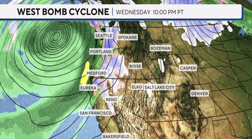
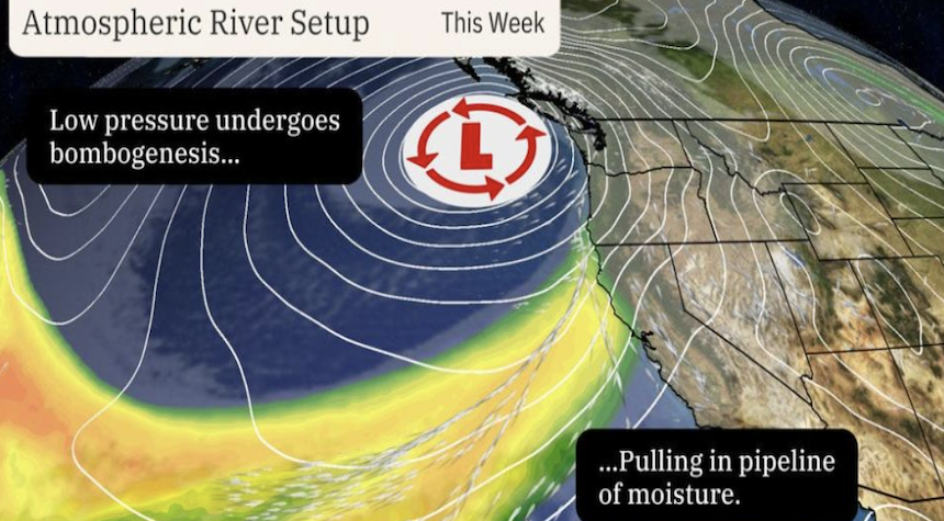
The Northwest is bracing itself for a powerful storm system that will move in this coming week. It will bring gusty winds and heavy rain, as well as mountain snow. National Weather Service reports that this is the first big storm of the year. What are an atmospheric river and a bomb cyclone?
What is an atmospheric River?
The western U.S. is no stranger to atmospheric rivers, especially in the winter and fall months. Atmospheric Rivers, or “ARs,” travel outside the tropical areas.
These atmospheric rivers are responsible for heavy snow and rain, especially when they push up against mountain ranges such as the Cascades or Sierra Nevada. The “Pineapple Express”, which originates in the Hawaiian Islands, is a well-known atmospheric river.

Strong ARs can transport water vapor equivalent to between 7.5 and 15 times the Mississippi River’s average flow. Just a few atmospheric rivers can account for 30% to 50% (or more) of the West Coast’s annual precipitation.
What is a Bomb Cyclone?
Meteorologists refer to bomb cyclones as low-pressure systems that go through “bombogenesis.” A midlatitude (the area between the tropics, and the polar region) cyclone undergoes “bombogenesis” when it rapidly intensifies within 24 hours.
In most areas, if atmospheric pressure drops by at least 24 millibars in 24 hours, the storm is classified as a bomb cyclone.

When a cold air mass collides with a warm mass of air, bomb cyclones are possible. This is the cause of some severe winter storms.
A major weather event can be expected when an atmospheric river and a bomb cyclone both occur at the exact same time. The bomb cyclone increases the wind and intensity, while atmospheric rivers supply the moisture.
Rainfall totals in some areas could reach 10-20 inches. Snow totals in the mountains are expected to exceed a foot for most areas. Higher elevations may receive up to 2 or 3 feet.


